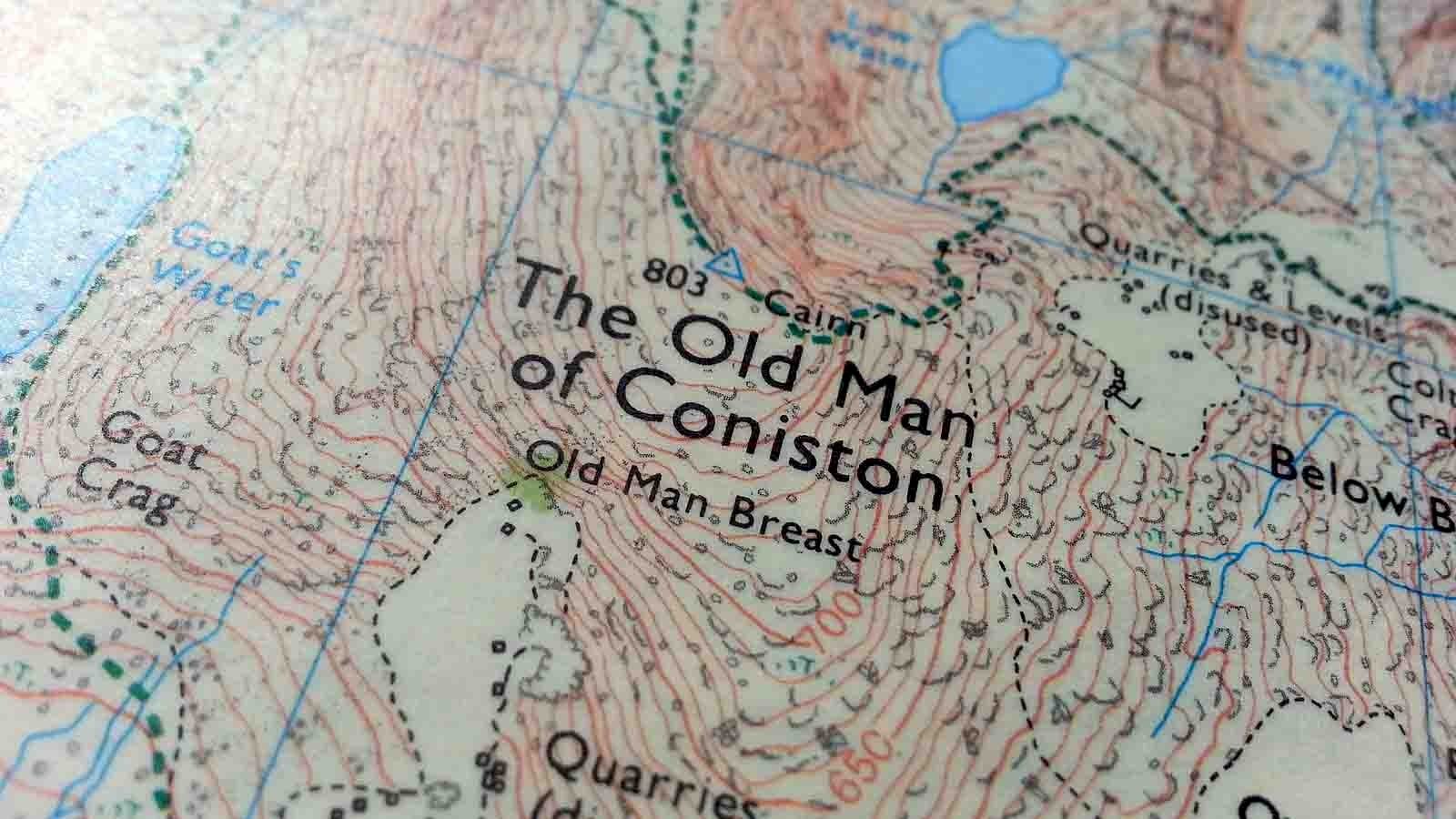
Hidden in the shadows of the web, in a rather large but dusty corner lies a true treasure. Free mapping data, ripe for the picking and raring to be used by enthusiasts who want to do more with it than to build minecraft worlds. In today's world the sheer volume of data and information available can baffle even the most hardened data geek. Even something as simple as an online map is no longer "just a map" but instead a carefully collated set of information presented to the end user. Sadly many of us outdoor map users have yet to fully grasp the potential and possibilities available to us when it comes to this vital tool of our trade.
A question I commonly get asked by those who know me and my background is whether I know of a map where they can "turn features on and off". Why yes, of course I do - or rather I know how to create one. In fact turning features on and off is an integral part of each and ever geospatial visualisation tool (e.g. Google Earth) or Geographical Information System (e.g. QGIS). The former being what many lay people think of when I mention the latter. A GIS is far more powerful than Google Earth was ever designed to be and it is this power that makes it so interesting to us as outdoor and ultimately map users.
What if I told you that with a few hours to spare, free software and free data you could recreate a reasonably accurate map of any area of the UK, complete with contours, features, paths, streams, access data etc etc. The data exists, much of it, thanks to the Opendata directive, is free and the tools are readily available. Granted, trying to untangle the web of data available with the tools if you don't know them is a bit like being thrown into an HGV and being told to reverse it blind on an A4 sheet of paper, but it's not impossible.
A while ago I created a guide which takes a complete novice to geographical data step-by-step through the stages of creating their first digital and customisable map for their own use. The guide is complex, requires dedication and a certain amount of patience (an engineering friend of mine gave up after a while), but once you've completed the steps you have a wonderful contour map ready to be used and abused. As the guide is not very pretty I'm reluctant to just upload it into this blog, but do give me a shout if you're interested and want to know more about the topic. I'm more than happy to share it and give pointers in the right direction. Equally if you feel that you or your (outdoor related) organisation could benefit from knowing more about the free UK and global geographical data and tools available please get in touch.
In the meantime, for those of you who are brave and want to dive straight into software and data, here are a few pointers to get you started:
Software:
- QGIS - A very powerful, but easy to use opensource and free desktop GIS program.
- GRASS GIS - only for advanced users or where online tutorials explain exactly what you need to do. A basic version is included in QGIS.
Data types:
- Raster data - Fixed images, hardly any control over colour and designed for specific resolutions. A printed map on screen.
- .tif is a common format used for prepared data.
- Height data often comes in grid formats such as .asc - avoid these for now.
- Vector data - Points, lines and polygons. The data scales and can be combined with other data easily based on location and other attributes. Users can fully style and customise the data as they see fit allowing for maps to be fine-tuned to their specific needs and requirements.
- Commonly .shp format (ESRI Shape) for prepared data
- Some .csv files will contain x and y coordinates which can be displayed in a GIS.
- Avoid .GML for now if you can
- Web services - Usually presenting data in raster format, don't require storage on your pc except for caching and allow for quick overviews. Not great to use if you're not familiar with the concept.
Projections:
- EPSG:27700 - For any UK data this is usually the best projection to use. If prompted for a reference system or projection type 27700 in the search box and you should get the OS National Grid.
- EPSG:4326 - For any other data use this projection for the time being. It's not ideal, but should be useable for now.
Data sources:
Stay tuned for more on this topic in future. After all - this is what I do for a living...


Leave a comment