
Imagine for a moment that paper was invented AFTER the screen and digital age. A stretch, I admit, though not impossible to conceive. Imagine now that after years of navigating using our heads, memory, screen devices and hand painted signs somebody came up with this idea of a "printed screen in your pocket".
We would go mad, bonkers, berserk even. The outdoor world would be divided into two large and one smaller camps.
In the right corner we would see the "die hard screen crew", the traditionalists. Nothing will persuade them to let go of their screens and they will use every pint available to them to discredit the "new fangled technology" as "unreliable", "unsafe" and "unnecessary".
In the left corner we have the "modernist crew", the kit hoarders and technocrats. This new shiny "printed screen" thing they have come across seemingly solves all of their problems overnight, is the best thing since sliced bread (if invented) and any negative about the new tech being thrown at them is instantly rebuffed with its positives.
Then there is the center of the ring, those caught in the cross-fire. This group can see the benefit of both technologies and indeed applies both in their respective strong areas. Over time this group grows and becomes the dominant one by far. Typically this group has the highest number of switched on and current (CPD wise) experts and professionals in it.
So what if we had to persuade the entire community of outdoor enthusiasts that a printed map was better than the digital map they have been using their entire life? What would the critics tell us and how would we counter their arguments?
Paper screens are useless when wet.
You can buy a special case that keeps them dry or laminate them.
Paper screens are too big and flap around in the wind.
You can cut down your paper screen or print smaller sections.
If I don't know where I'm going I need to buy lots of paper screens.
You can never have too many paper screens.
I can't update my paper screen.
You can buy a new paper screen.
Hopefully by now you get the point that this article isn't about trying to sell the benefits of paper vs digital mapping. The point I am trying to illustrate is that many of the arguments against digital mapping are actually not true arguments in support of paper mapping. And even if they are, in many cases we can find instances where paper mapping is in fact inferior to digital mapping. The only reason we still tend to see digital mapping as a de-facto supplement to paper mapping is convention and tradition.
There are a number of devices on the market now which have excellent battery life, are heat and cold resistant, can be used with gloves (to the same degree as a map and compass in comparable conditions), are waterproof or can be waterproofed and serve multiple purposes (i.e. alarm for the 11am tea break...).
I frequently get asked whether I carry a paper map when I'm out and about. The truth is it really depends on where I am, what I'm doing and who is watching. In my local stomping ground of the New Forest the only time you will see me use a paper/printed map is on courses or when talking to DofE groups. If nobody is watching I use my local knowledge backed up by a quick position confirmation on my phone.
Further afield the only times I tend to rely on paper mapping entirely is when the weather is wet. Not because my phone can't deal with it but because I don't have to open my pocket as far to get a printed and laminated map out. In dry and sunny conditions by and large I go by nose and phone.
There is one key exception to all this - the moment I use my compass I also use my paper map. The compass on my phone (and many others) is fairly inaccurate and taking bearings in most software and apps is simply painful.
You could argue, and I won't blame anybody for doing so, that I have therefore become lazy in my navigation. I find quite the opposite is true though. Because my phone gives me an instant and "accurate" view of where I am I spend less time convincing myself I know where I am and more time knowing. If my phone disagrees with where I think I am it prompts me instantly to question myself and my decisions rather than luring me into a frenzy of confirming what isn't there.
As much as I enjoy navigating the traditional way, I also enjoy being able to pay slightly less attention through the use of digital mapping as an assitive technology.
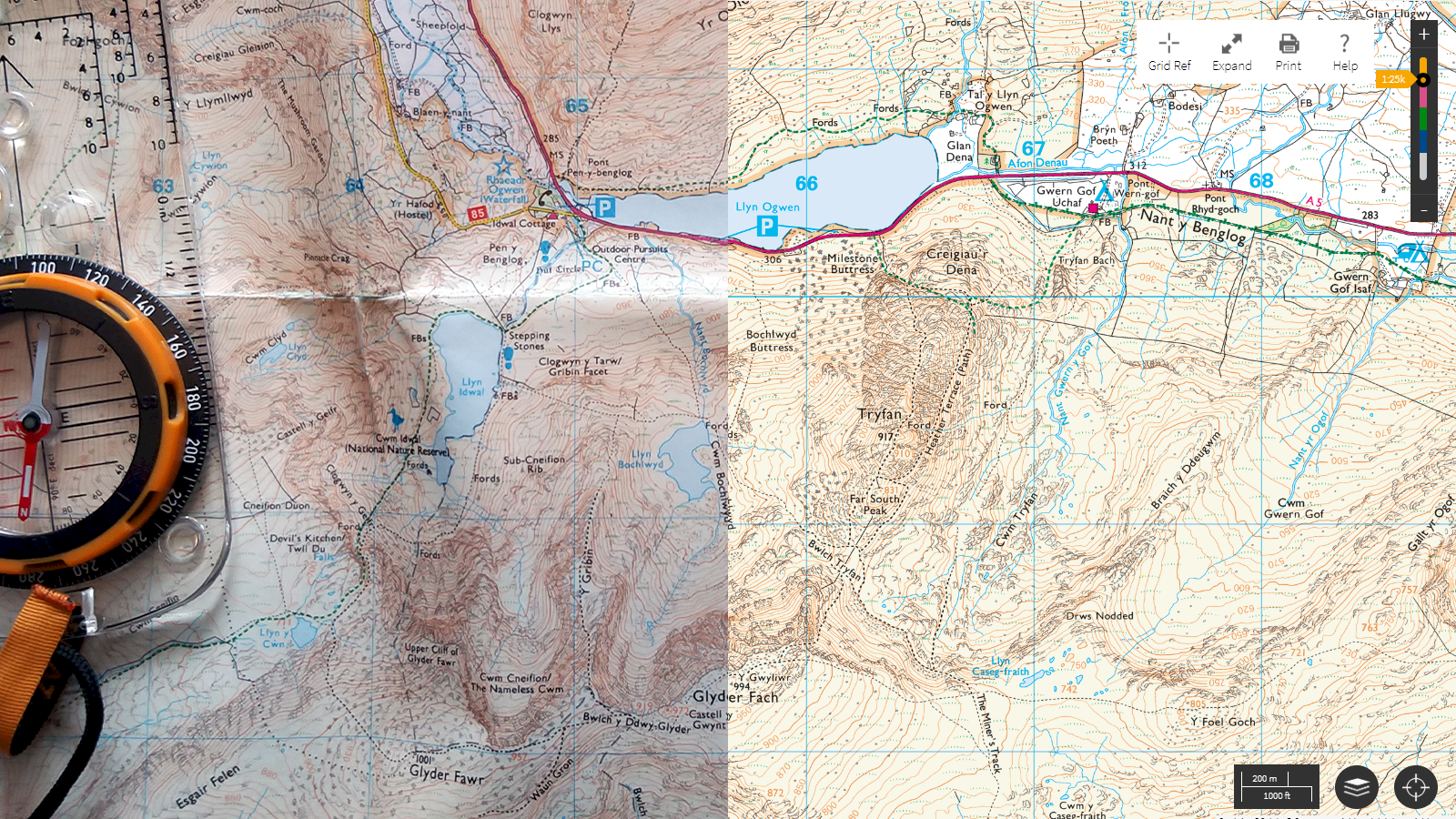
On a closing note, more important than arguing the benefits of your primary method of navigation is making sure you know how to use your backup. I came across a young couple in the Carneddau (Snowdonia) late last year who were looking and sounding rather navigationally challenged. They stopped me to ask whether I knew where we were and how to get to the car park. I gave them pointers and we ended up walking together for a bit. Talking to them it transpired that they were seasoned walkers and always used their phone to navigate. Only this time, one phone was back at the hotel and the other had run out of juice from taking pictures. "Not to worry - we have a map and compass" they thought - having never used a paper map and compass before. As a result, while not horrendously lost, their day became somewhat more challenging.
I'm happy to report that both have since booked onto some navigation classes and are looking forward to learning how to use their backup effectively.
After all, every technology and innovation has its strengths and limitations - even paper.
Leave a comment